
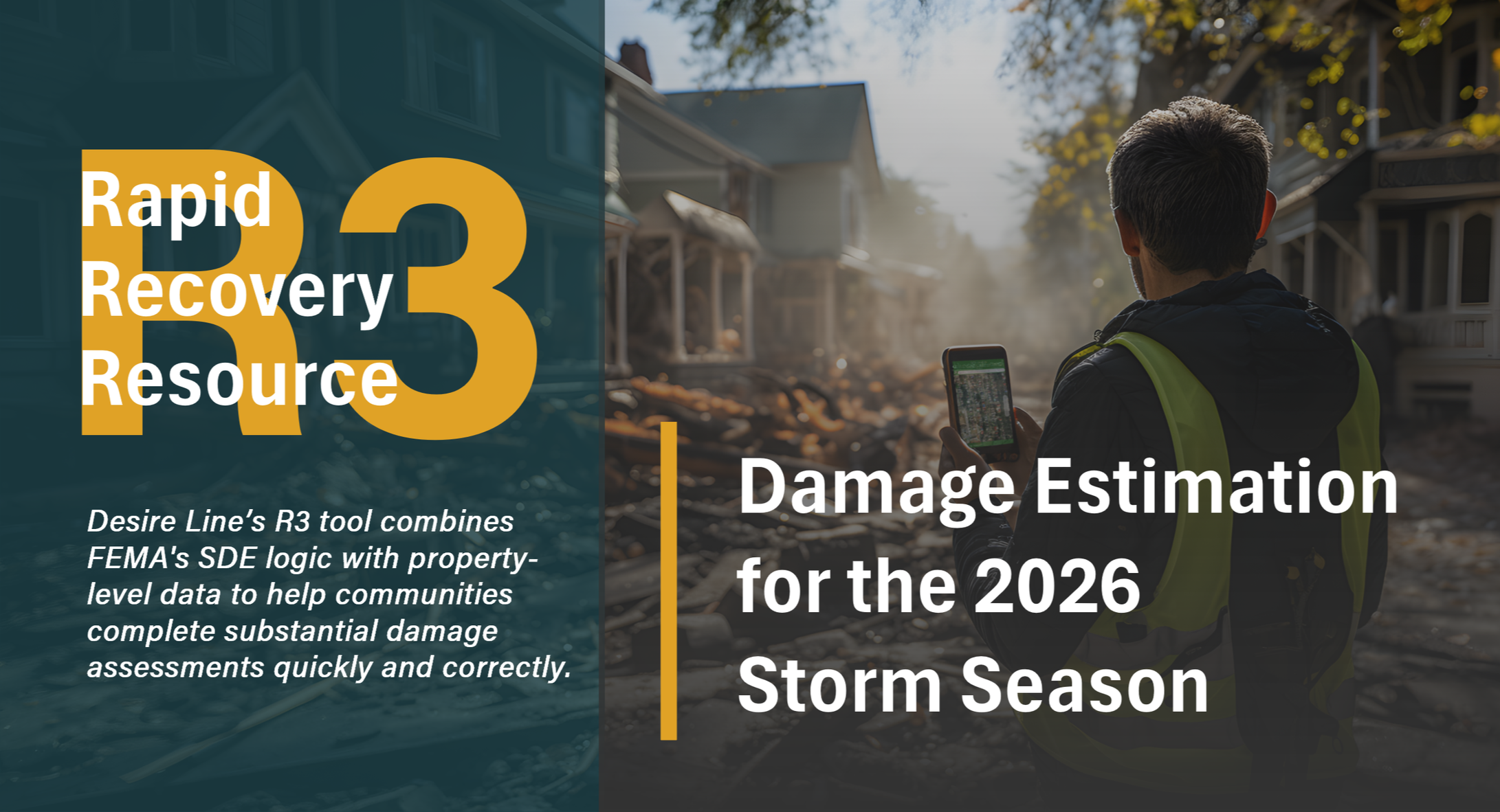
Rapid Recovery Resource Tool (R3)
Why Desire Line’s R3 Tool?
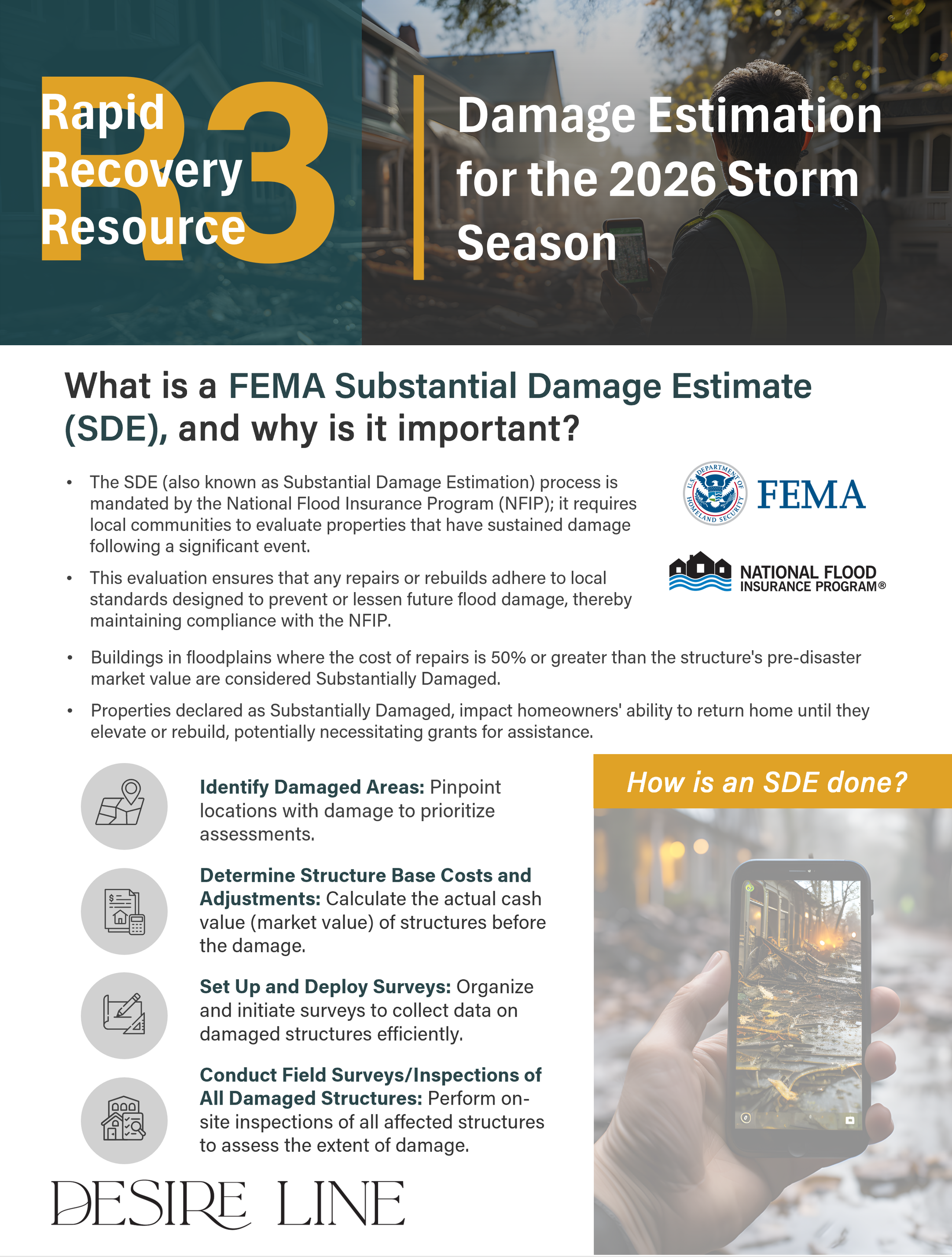
State agencies and local jurisdictions: Are you prepared to obtain or distribute recovery dollars quickly and correctly? To defend your decisions about who received what funds and why? Learn more about how we can help with our Rapid Recovery Resource (R3) Tool, which combines FEMA's SDE logic with property-level data to help communities consistently complete substantial damage assessments quickly and correctly, and further supports expeditious statewide decision-making on how post-disaster funds are distributed in a fair and defensible manner.
Watch a demo of the R3 Tool
R3 Tool features include:
Immediate Deployment
• Map damage extent within hours of an event
• Compatible with Survey123 and ArcGIS / ESRI Uses a phone app – once submitted, a preliminary R3 SDE is generated
• Web-based, no need for in-house servers, downloads, etc.
Date Integration
• Pulls assessor, parcel, ownership, address, flood zone, BFE, and building area data from local sources
• Generates a FEMA-defensible method of assigning market-based actual cash value for structures based on region, building use, and square footage
Intuitive For Beginners
• Can be fully mobilized by Desire Line, local staff, or another contractor
• If unfamiliar with determining actual cash value, you can still deploy R3 today
Customizable
• Substantial damage thresholds other than FEMA’s 50% can be set and utilized
• Designed to accommodate and track cumulative damage provisions easily across multiple events
Bulk Editing and Exports
• Data sharing and export is seamless for Excel, Microsoft products, ESRI, and ArcGIS
From Day 0 to Full Recovery
• Generate Substantial Damage Letters to homeowners
• Maintain a recovery monitoring dashboard
• Map damage and grant eligibility
Want to learn more about how Desire Line can help in your community? We'd love to chat! Reach out to to learn more about an R3 demo and pricing ahead of the 2026 Storm Season.
Note: Desire Line's R3 Tool is designed to provide damage estimates after a disaster event, and track cumulative damages across events within the same jurisdiction using precise building valuation and repair costs. It leverages both locally available data and actual field data collected after an event and enables long-term recovery tracking to ensure NFIP compliance with SD/SI regulations. It is meant to be used for FEMA compliance and monitoring, as well as case-making and data support for fund distribution decision-making at the regional, state, and federal level. Estimates are expected to be updated at the point of permit when a property owner submits cost estimates for repair and proposed improvements.